2026.05.15
BC Coastal Change Report (Q1 Summary)
Impact Analysis: Vancouver Island and Lower Mainland surge probability modeling.
3.2 MB · PDF
 SpeakIT AI
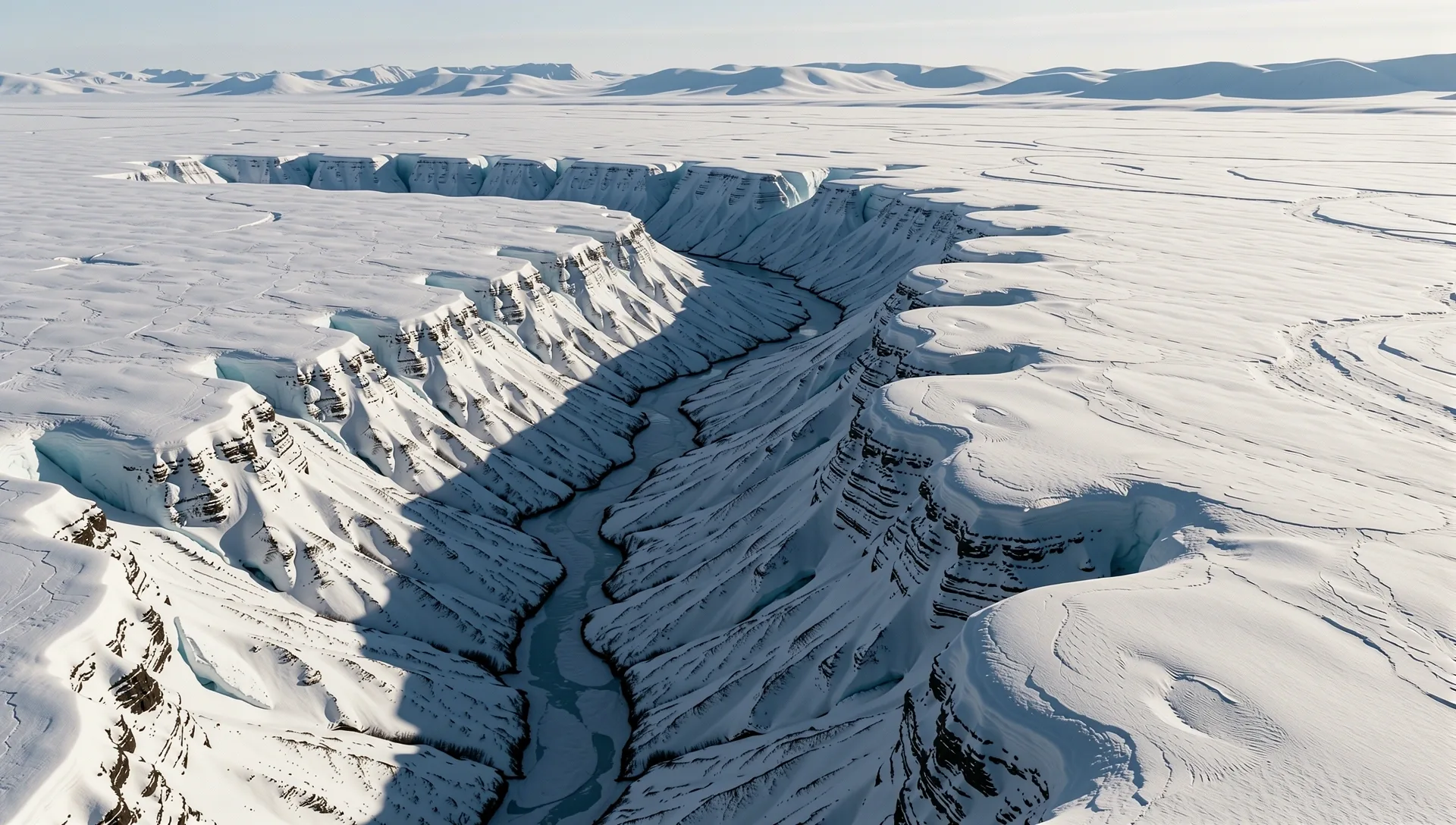
Analytical foresight requires radical transparency. Explore our library of public research summaries, detailing the societal impacts and environmental whitepapers generated by our high-fidelity AI modeling across Canadian provinces.
SpeakIT Climate AI bridges the gap between raw telemetry and policy action. We integrate satellite spectral data with ground-based sensor arrays to verify the real-world utility of our predictive risk modeling.
Mapping 1,200km of shoreline to predict tidal erosion with 94% alignment to historical permafrost markers.
AI-optimized drainage infrastructure plans adopted by municipal planners to mitigate flash runoff risks.
Hyper-local climate variables tuned specifically for regional boreal moisture levels and heat cycles.

We ingest raw regional telemetry from across Canada—ranging from thermal sensor arrays in the Arctic to moisture monitors in the Prairie provinces. Our AI framework normalizes these disparate inputs to ensure predictive accuracy before analysis begins.
By applying Provincial parameter tuning, we adapt global climate models to hyper-local Canadian geographies, preventing the "one-size-fits-all" error common in generic meteorological modeling.

We maintain absolute transparency in algorithmic verification. Our mission is to provide independent, peer-reviewed climate intelligence for policy stakeholders who require accuracy over sensationalism.
Access the latest executive summaries from the 2026 reporting cycle. All documents represent validated probability ranges derived from our 4.1 protocol.
Impact Analysis: Vancouver Island and Lower Mainland surge probability modeling.
Societal Impact: Evaluation of industrial zone resilience in the GTA corridor.
Service Tool: Regional prognostic guides for provincial conservation agencies.
SpeakIT Climate AI provides tailored research for municipal planners and industrial developers. We focus on bridging high-frequency sensor data with actionable strategic foresight.
Our team of data scientists and environmental policy experts is available for direct inquiry. Engage with Vancouver's leading AI-driven climate intelligence partner.